Geography you can turn in your hands.
Orbis puts every map a geography or science lesson needs on one globe. It is free, needs no account and runs in any modern browser, so a class can start in seconds.
Open the atlas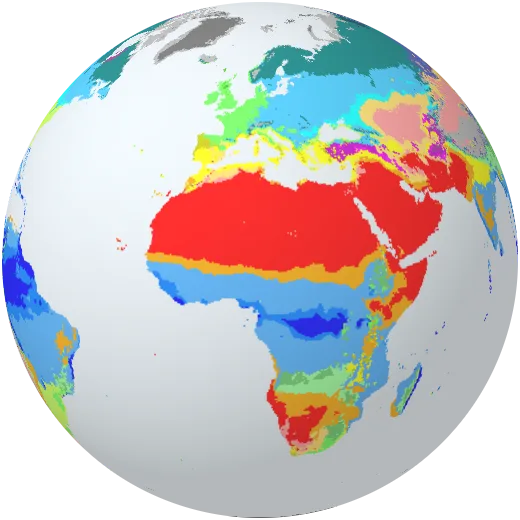
Lessons ready for the classroom screen.
Each lesson is a guided tour of the globe with big text for the class and a quiz at the end. Arrow keys or the space bar move on.
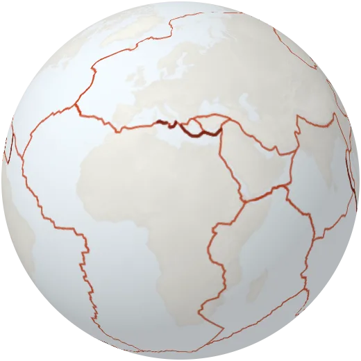
The restless Earth
Why earthquakes and volcanoes line up, and what happens where plates meet.
- Name the main tectonic plates
- Explain why earthquakes cluster at plate boundaries
- Tell a subduction zone from a spreading ridge
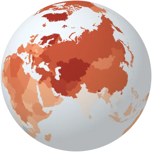
A planet running warm
From the Arctic to the coral reefs: where climate change shows first.
- Read the warming map and its baseline
- Link warming to ice, reefs and sea level
- Name places most at risk
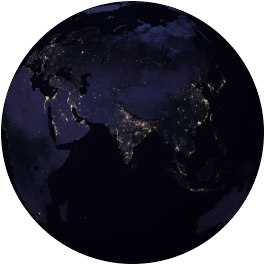
Eight billion people
Where people live, how fast populations grow and how cities light up the night.
- Describe where population is dense and sparse
- Connect birth rates to population growth
- Read night lights as a map of people and wealth
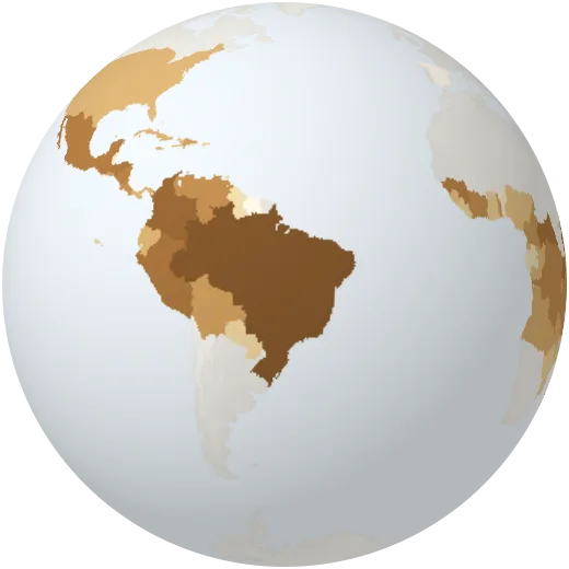
Where our food grows
Coffee, rice and wheat: why crops grow where they grow.
- Link crops to climate
- Name the main producers of coffee, rice and wheat
Type what it should be about and Orbis writes a quiz your class answers on the globe. Unlimited for every teacher with a school licence.
Ready for the topics you teach.
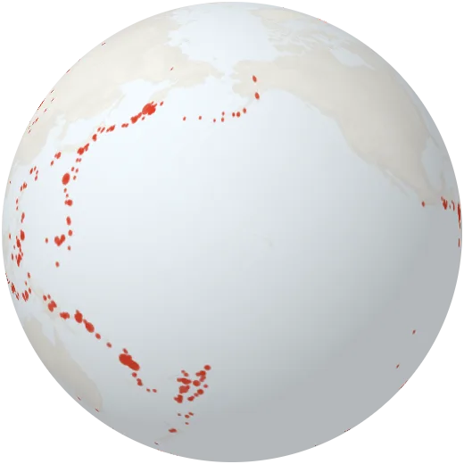
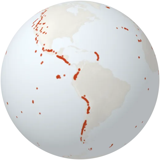
Plate tectonics
Why earthquakes and volcanoes line up, and what happens where plates meet.
Weather and climate
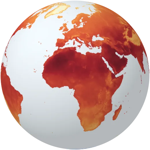
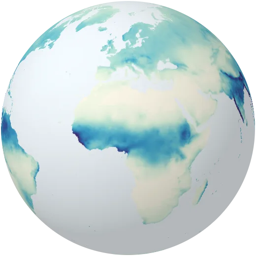
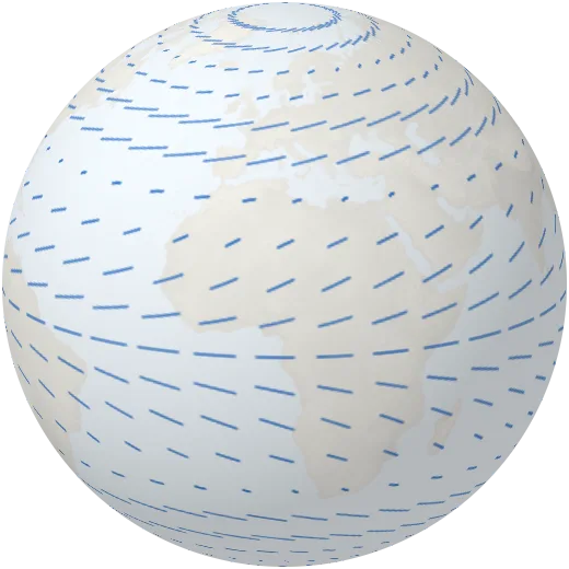
Climate zones, the seasons, monsoons, winds and the currents that move heat around.
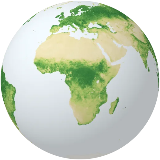
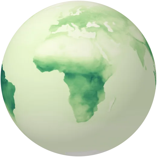
Biomes and ecosystems
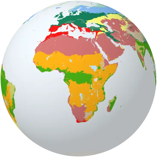
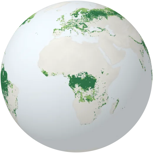
From rainforest to tundra: what grows where, and why.
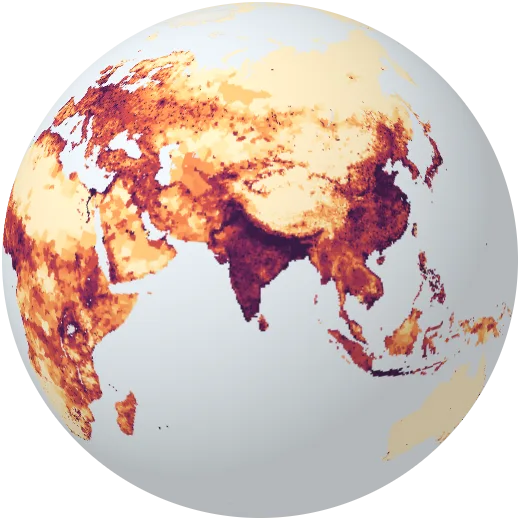
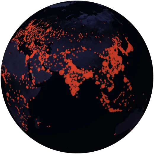
Population and cities
Where people live, how fast populations grow and how cities spread.
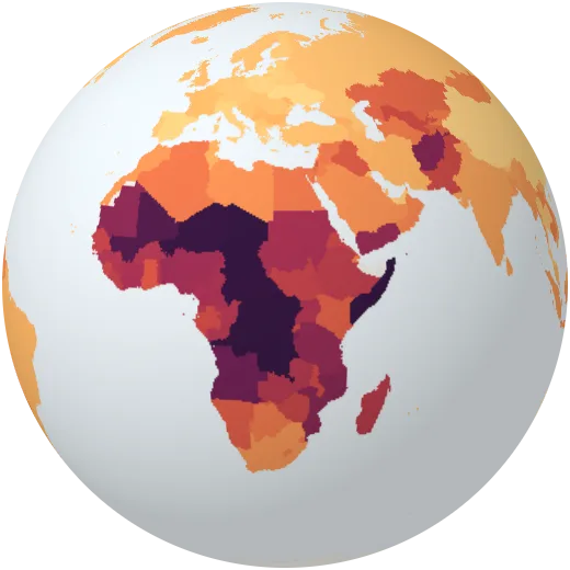
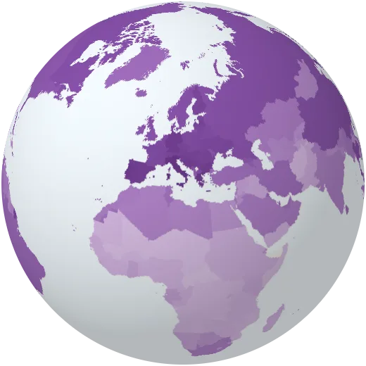
Development
Income, health, schooling and the gaps between countries.
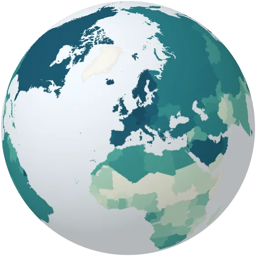
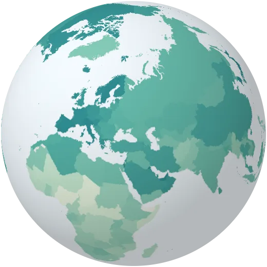
Resources and energy
Farming, mining and how each country makes its electricity.
Climate change
Emissions, warming and what is changing on the ground.
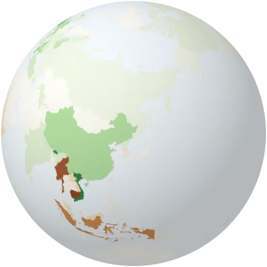
Hazards
Storms, floods, droughts and the places most at risk.
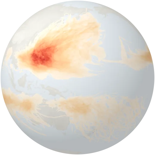
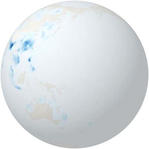
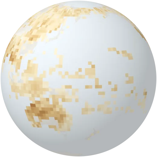
Four ways to use it tomorrow.
Predict, then reveal
Ask the class where they think forests, deserts or cities are. Draw a guess on paper, then open the map and watch it spread across the globe.
Two maps, one question
Open earthquakes, then tectonic plates. Or rainfall, then forests. Students explain the pattern before you name it.
Play the years
Press play on warming, forest cover or population and stop on a year. What changed, where, and why?
Ask Orbis
Students ask the atlas a question in their own words. It answers, shows the map and points at the places it talks about.
No accounts, no ads
Students open a link and start. Nothing to sign up for and nothing tracking them.
Every source named
Each map says where its data comes from, so older students can follow it to the original.
Links that keep the view
Share a map, a place or the exact view on the globe with one link.