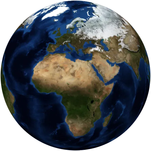
The atlas of a changing planet.
Search anything an atlas knows and watch it appear on a living globe, from forests and fault lines to coffee and carbon. Every map is built from open data.
One globe for everything an atlas holds.
The shape of the land
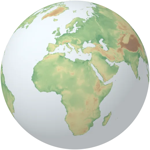
Mountain ranges rise off the globe, deserts and plateaus carry their names, and the sea floor drops to eleven kilometres. Search any landform by name.
Open this mapEvery climate, everywhere
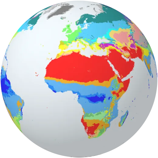
Each place sorted by its temperature and rain through the year, from tropical rainforest to ice cap. Orbis computes the zones itself from thirty years of station records.
Open this mapWhere the forests are
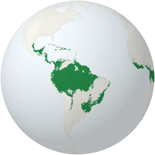
Closed forest, open woodland and the boreal belt across the north, mapped from satellite images. About a third of the land is still forest.
Open this mapEight billion people, seen at night
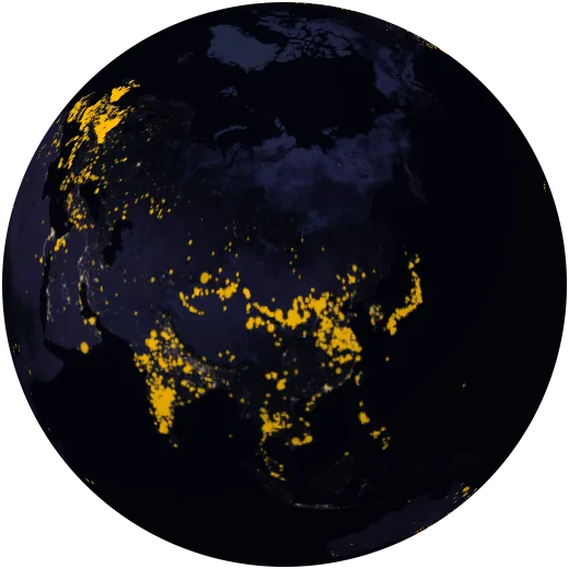
City lights trace where we live and how we connect. The dark patches are as telling: places with no grid and no roads.
Open this mapEvery large power plant
Power plants coloured by fuel, from coal in the north of China to solar parks in the deserts and wind along the coasts.
Open this mapA planet running warm
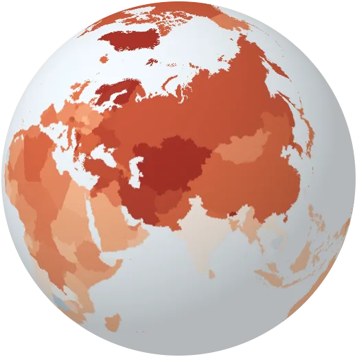
Each country’s yearly temperature since 1940. Blue years were cooler than the recent average, red years warmer. Watch the blue disappear.
Open this mapMore than an atlas.
Travel through time, follow things around the world, test yourself and teach a class, all on the same living globe.
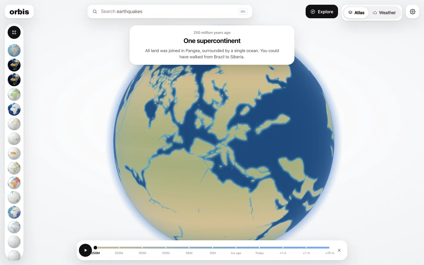
A time machine for the planet
Slide back 250 million years to Pangea, watch the Atlantic open, drain the North Sea in the last ice age, then raise the sea one metre, seven metres, seventy. Every step is drawn from scientific reconstructions and real elevation data.
Open the time machine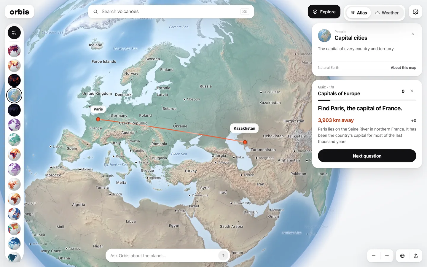
A quiz on anything, answered on the globe
Type a topic, any topic. Orbis writes the questions; you answer by clicking on the globe and see how many kilometres you were off. From capitals to coral reefs.
Make a quiz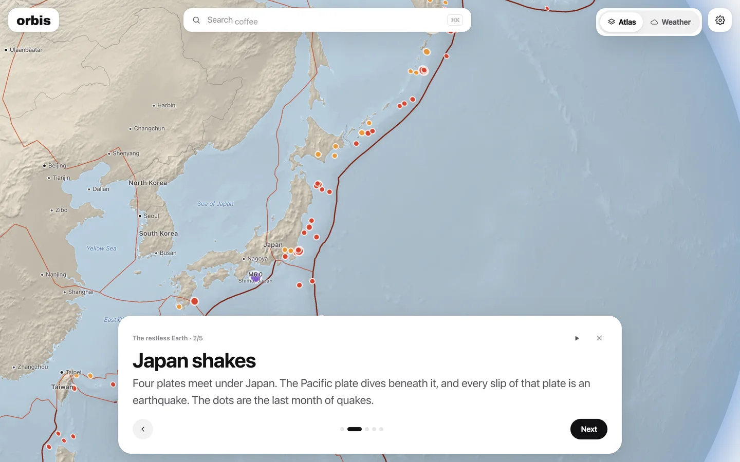
Lessons for the classroom screen
Guided tours that fly the globe from stop to stop, in text big enough for the back row. Arrow keys move on, and each lesson ends with a quiz.
See the lessons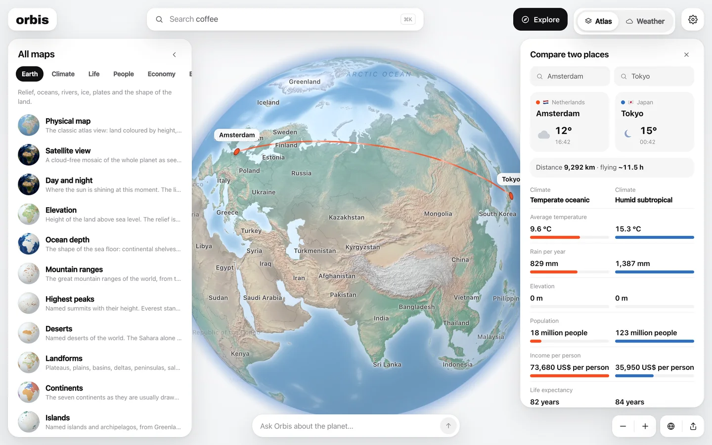
Two places, side by side
Weather right now, climate, income, emissions and forests for any two places on Earth, with the line between them drawn on the globe.
Compare two placesOr just ask.
Free for every student. A school licence gives every teacher unlimited quizzes and the assistant without limits.
Ask the way you would ask a person.
Type a place, a landform, a theme or a question, in English, French, German, Spanish, Portuguese, Italian or Dutch. Orbis knows the names of every country, city, sea, desert and mountain range in those languages.
Try the search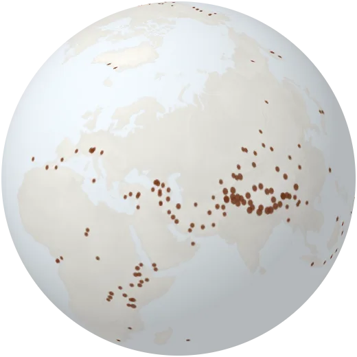
Weather, the way meteorologists see it.
Live radar, lightning as it strikes, wind and temperature across the whole planet, and forecasts from the world’s best weather models side by side, for any place on Earth.
Open weatherThe planet’s vital signs.
Six numbers that tell how Earth is changing, taken from the scientific records and updated as they publish. Each one opens the map behind it.
Mauna Loa, September 2026. It was 316 ppm when measurements began in 1958.
See it on the globe2025 compared with 1951–1980 (NASA). The warmest year so far was 2024, at +1.28 °C.
See it on the globe2026, down from 7.05 million km² in 1979. The record low was 3.57 in 2012.
See it on the globeSatellite altimetry, 2025. The yearly rise has more than doubled since 1993, according to NASA.
See it on the globeClose to the 2016 record of 29.6 million hectares (Global Forest Watch).
See it on the globeWorldwide in 2025, up from 19% in 2000 (Ember).
See it on the globeFrom bedrock to the air we breathe.
All mapsEarth
Relief, oceans, rivers, ice, plates and the shape of the land.
Climate
Temperature, rain, seasons, winds, currents and climate zones.
Life
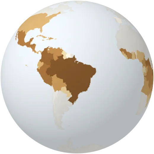
Biomes, forests, grasslands, oceans and the richness of species.
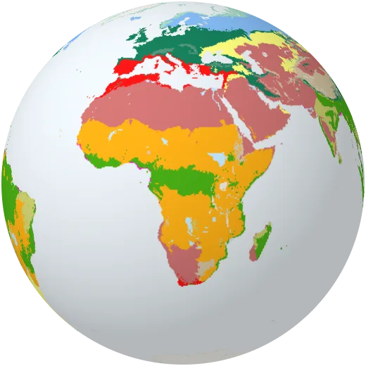
People
Where we live, how long we live, what we speak and how we connect.
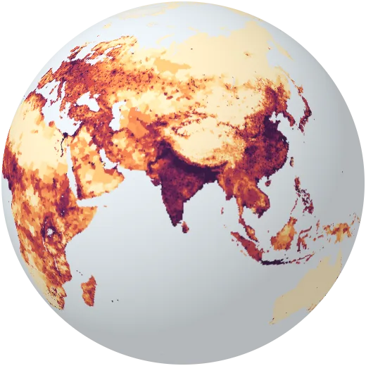
Economy
Income, trade, farming, food and the minerals we mine.
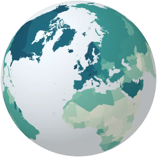
Energy
Every large power plant on Earth and how each country makes electricity.
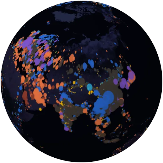
Change
Emissions, warming, forest loss and the pressure we put on the planet.
Hazards
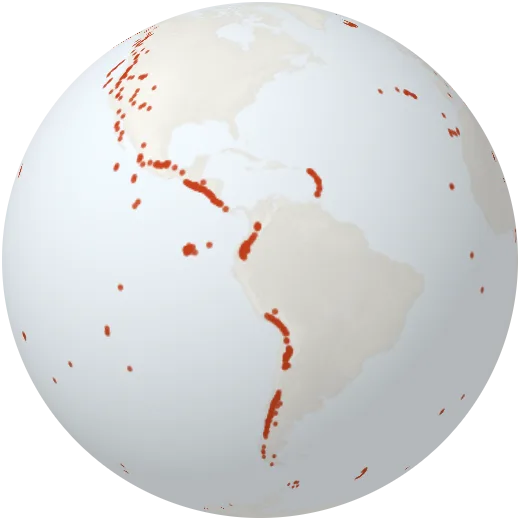
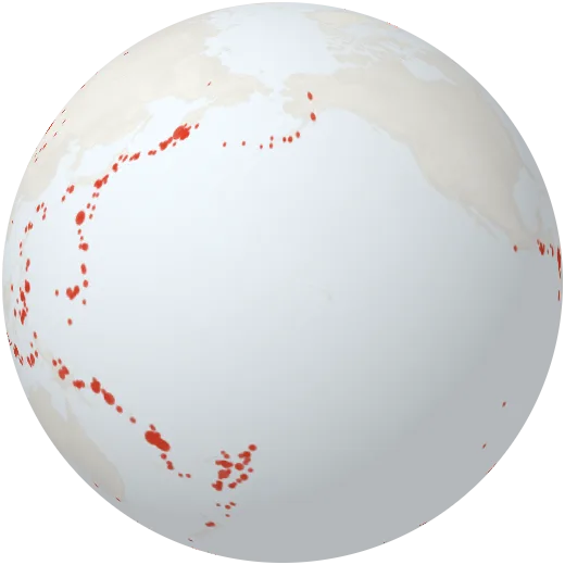
Earthquakes, volcanoes, fires, storms, floods and droughts.
In the classroom
Every map a geography lesson needs, from climate zones to population, free and without an account. Students can search in their own language.
Orbis for educationIn the newsroom
Every map, place and view has its own link. Point a story straight at this month’s earthquakes or at one country’s emissions since 1900.
How the data worksFor climate work
Emissions, warming, forest loss and energy for every country in one place, with each figure traced back to its source.
The planet report