An atlas for the planet we actually live on.
The first modern atlas, Abraham Ortelius’s Theatrum Orbis Terrarum, was printed in 1570. It gave readers the whole known world in one book. Orbis takes its name from it.
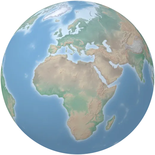
Four and a half centuries later, satellites measure the planet every day, and agencies publish what they find as open data. But that knowledge sits in thousands of portals and file formats. Orbis brings it back into one place, on one globe, where anyone can search it.
We started with the questions a good atlas answers — where are the forests, where do people live, how hot does it get — and added the ones a changing planet raises: how fast the ice is going, who emits the most, where the power comes from.
What we hold to.
Everything on one globe
Paper atlases split the world into separate pages. On a globe, rain, forests and people sit in the same place, so the connections show.
Show the source
Every map names who measured it and links to the original. If a number matters, you should be able to check it.
Change is the story
Wherever the data allows, maps move through time. The planet is not a fixed picture, and its atlas should not be one either.
Free to explore
No account, no ads, no tracking. The atlas is open to anyone with a browser.
Brand
The Orbis wordmark is set in Archivo Black. Use it in black or white, on plain backgrounds, and give it room.